Where trails wander and stories unfold
Footprints & Frames
Photography brought me to hiking. Or maybe it was the other way around. Either way, I’ve found that the trail is my best studio — unpredictable, raw, full of character. These posts will be a blend of trip reports and visual storytelling: the where, the how, and the why behind the images I take.
Whether you're a fellow hiker, a photo lover, or just someone who enjoys a good view, I hope this space inspires you to lace up your boots — or at least see the world a little differently.
There’s something about hiking that slows the world down — and gives you the space to see more deeply.
I started this hiking journal not just to track miles or mountains, but to capture the small, fleeting moments: early mist through the trees, the way sunlight hits a mossy trail, or a distant peak caught in golden hour.
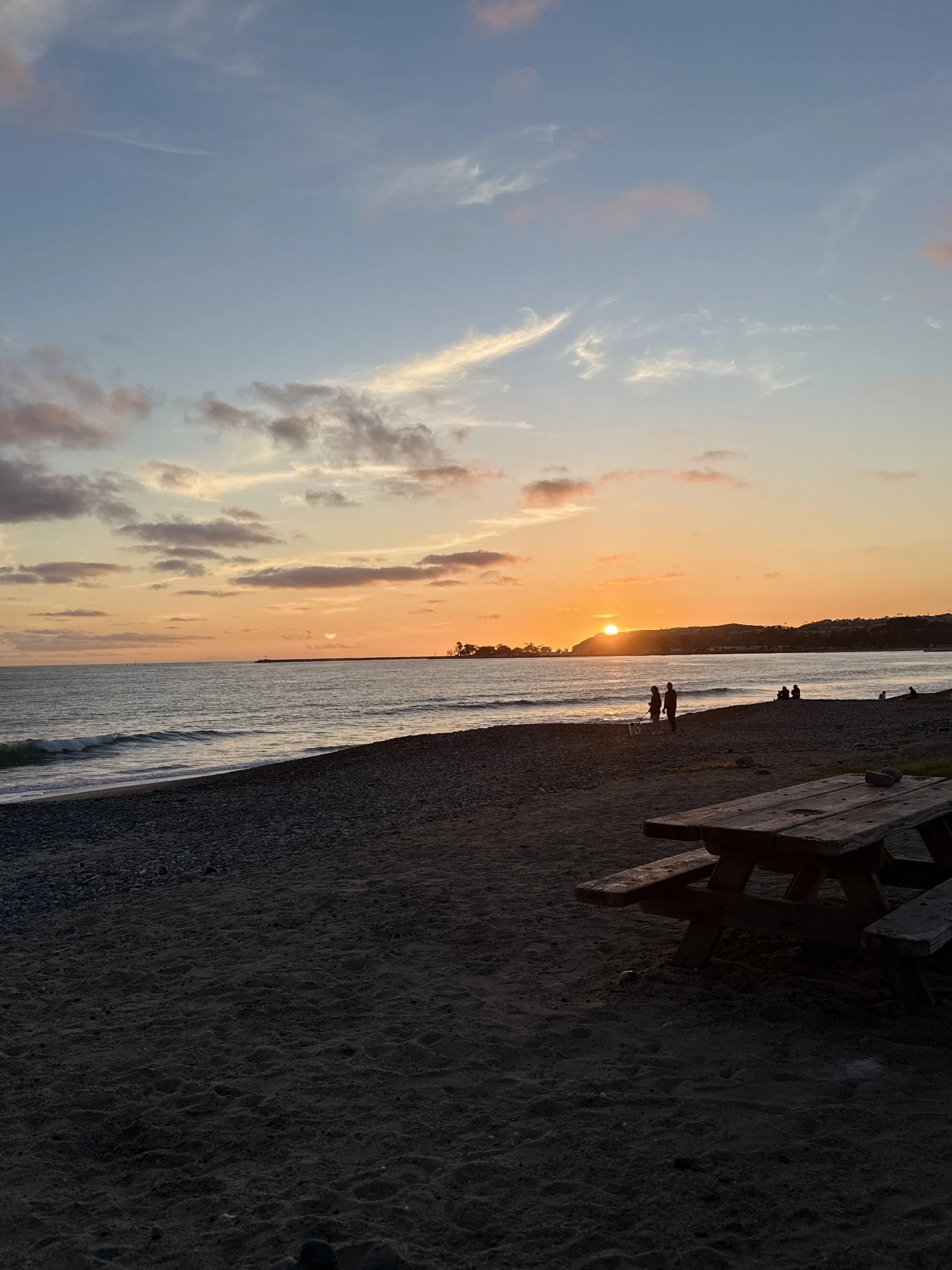
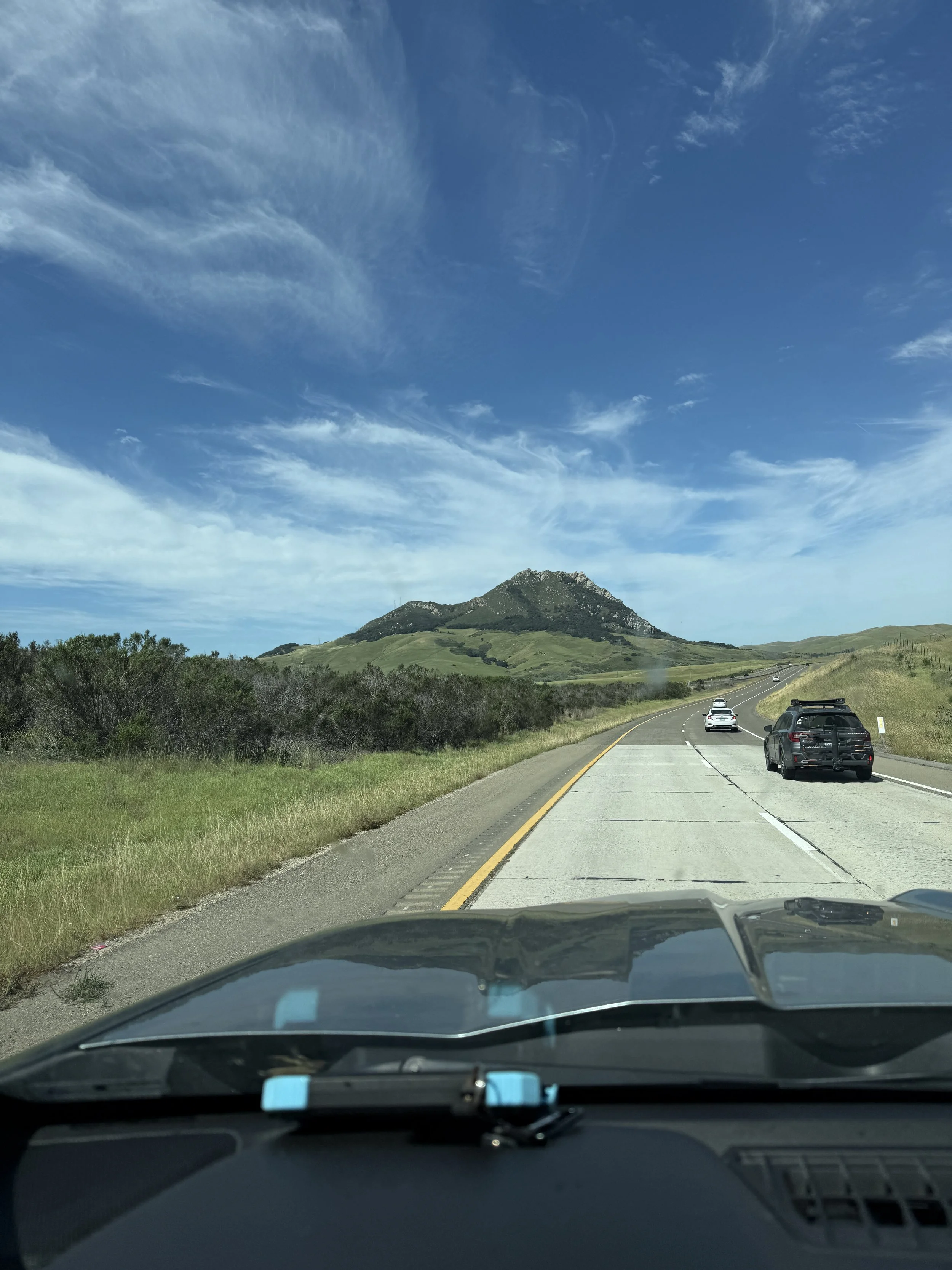
West Coast Wanderings Day Five: The Long Drive Home
Day #5 - The Drive Home
📍Garberville, CA to Dana Point, CA
🥾 628 miles
📈 Elevation Gain: 302 feet
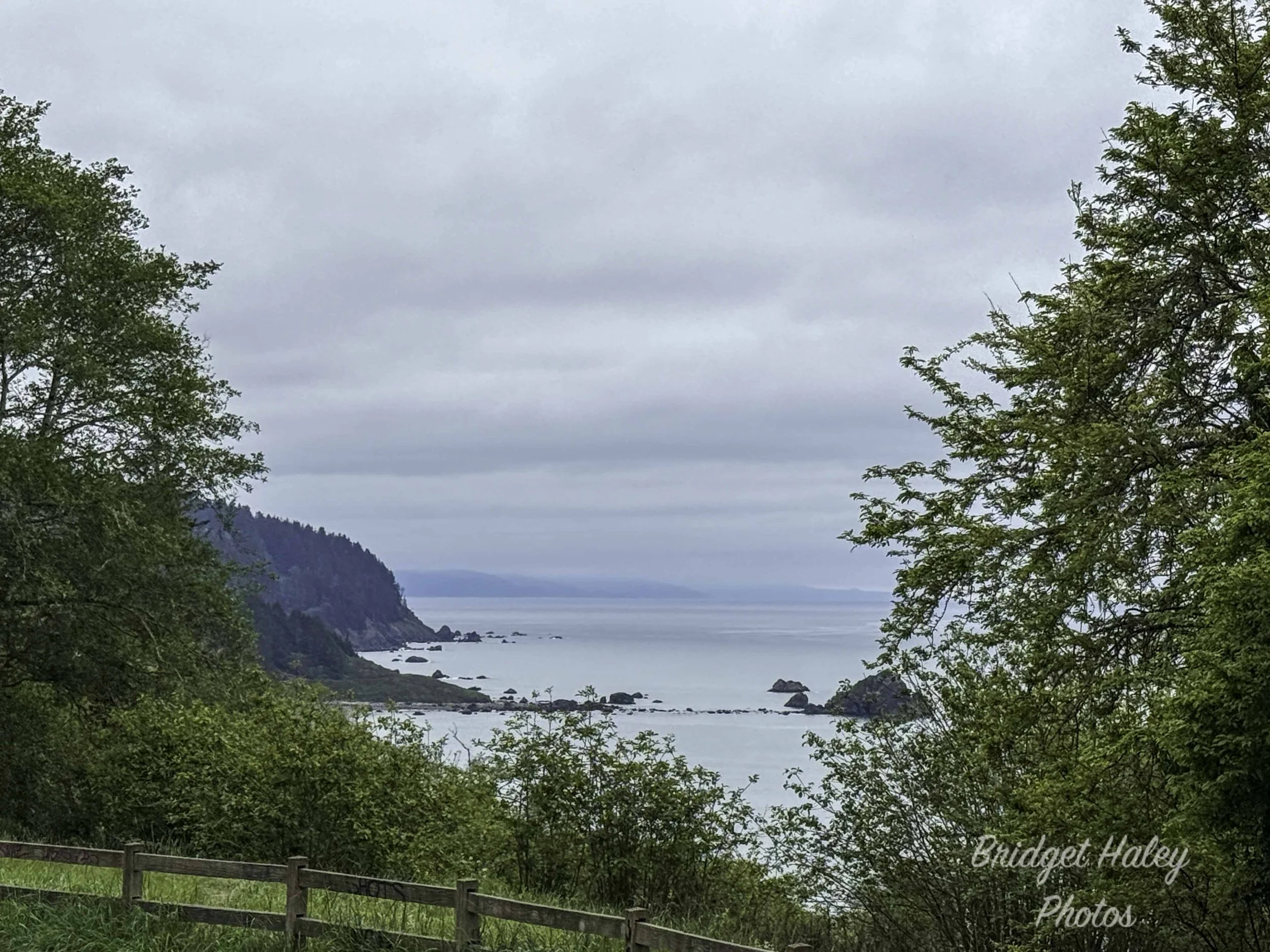
West Coast Wanderings Day Four: The "Short" Hike That Wasn't
Day #4 - Long - Short hikes and cool surprises
📍Prairie Creek State Park to Richardson Grove State Park
🥾 255 miles
📈 Elevation Gain: 112 feet
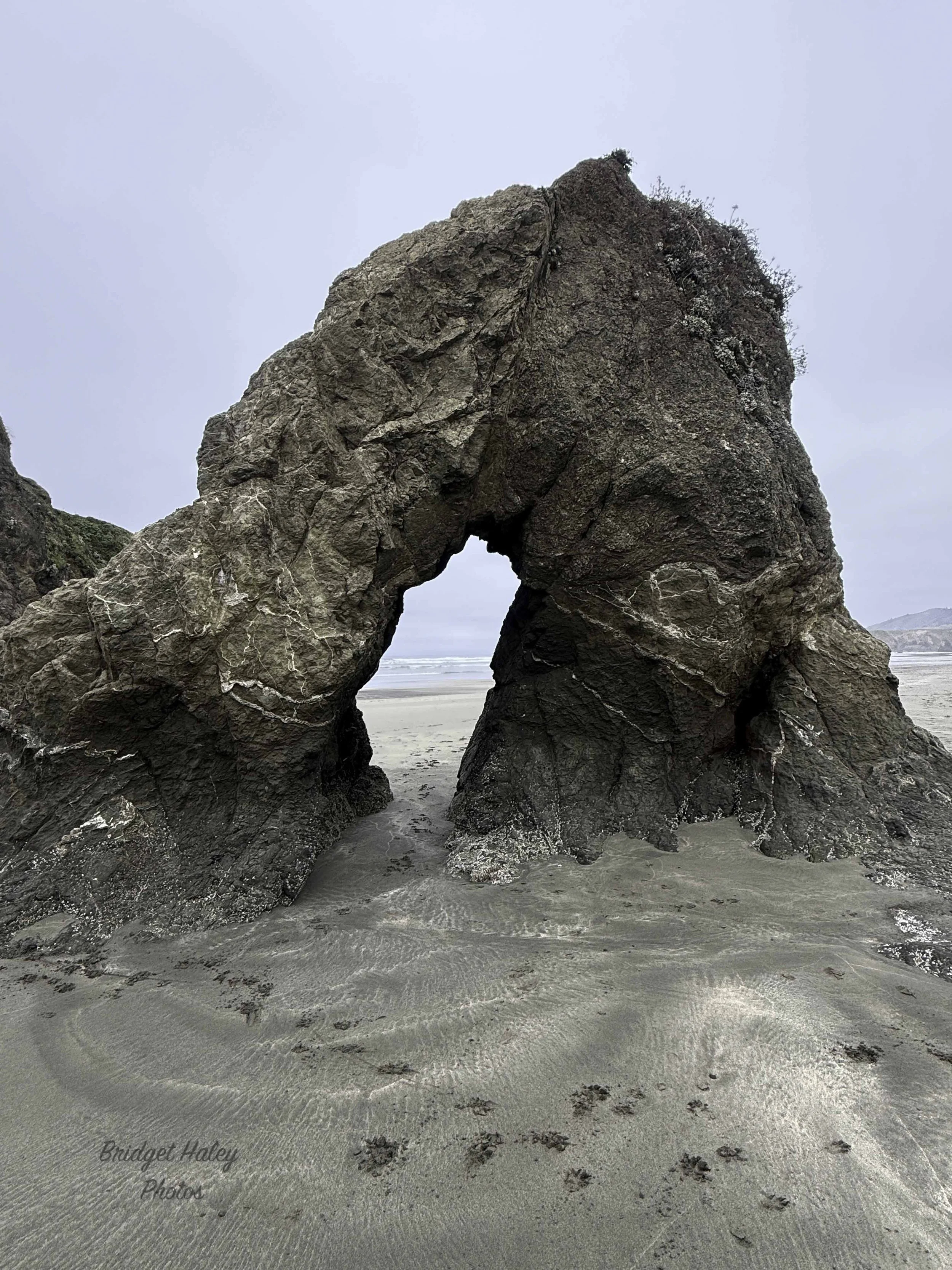
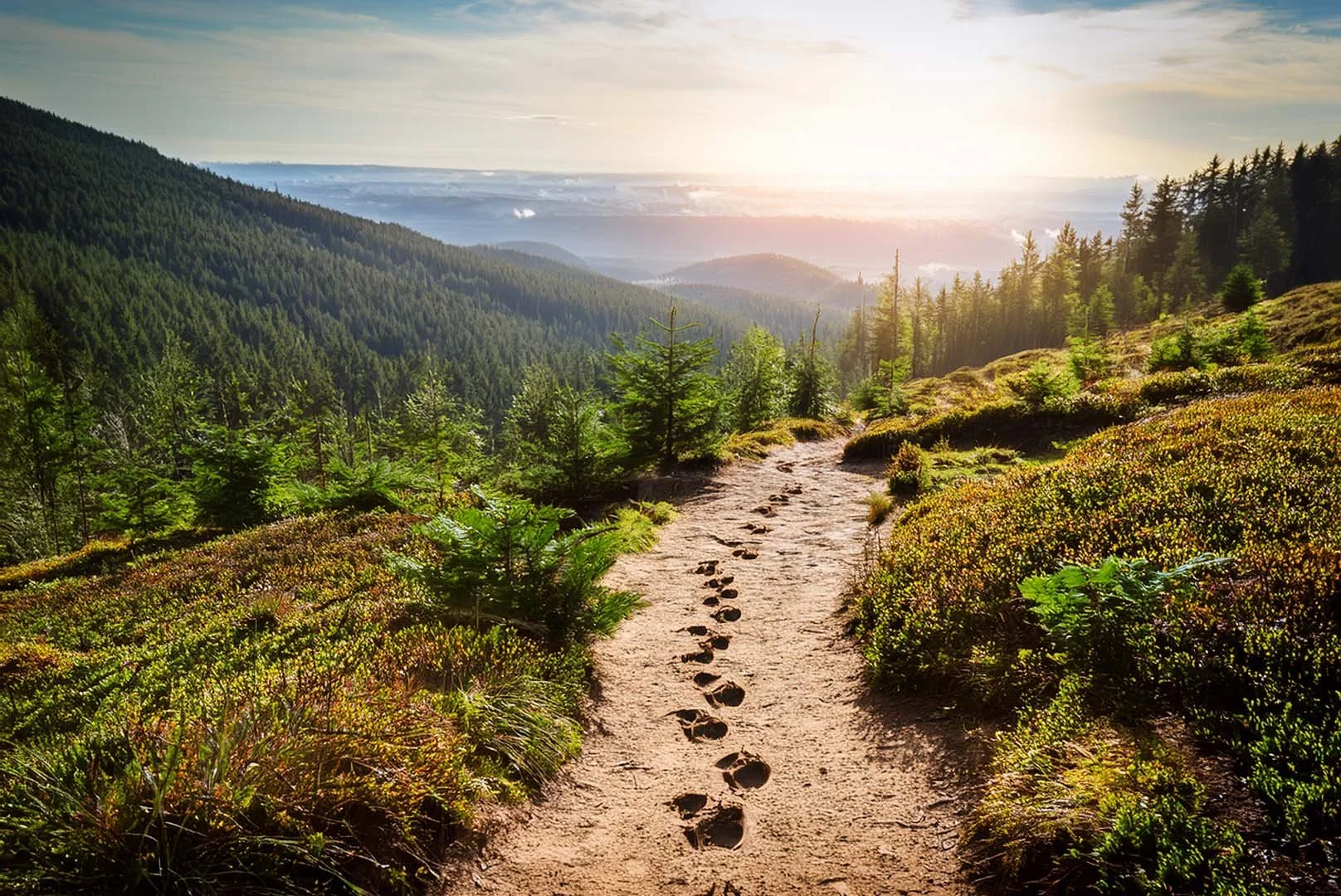
West Coast Wanderings Day Three: Giants, Mysteries, and a Perfect Campsite
Day #3 - Headed Into Redwoods
📍MacKerricher State Park to Prairie Creek State Park
🥾 182 miles
📈 Elevation Gain: 915 feet
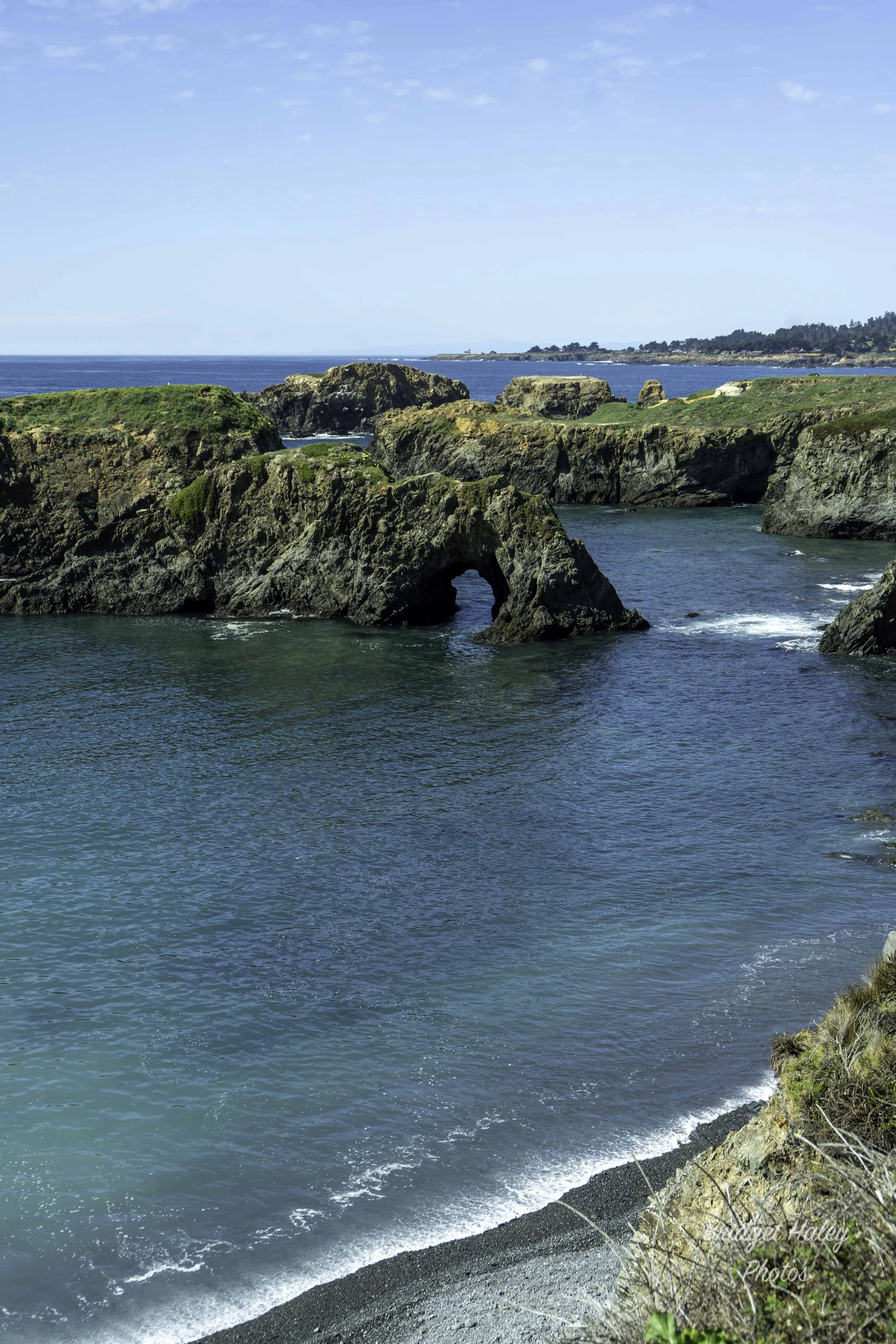
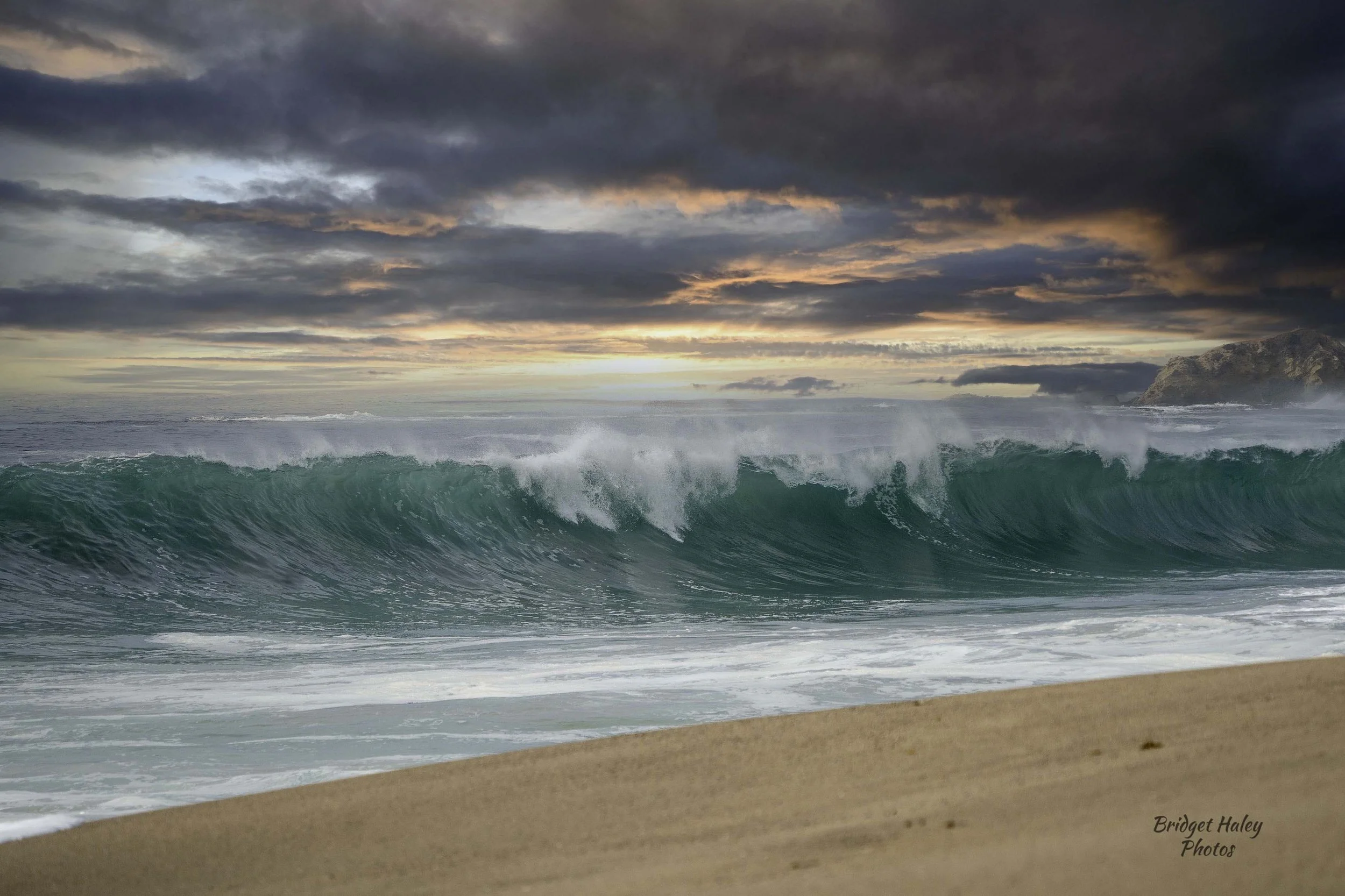
West Coast Wanderings Day Two: Chasing the Coastline
Day #2 - Beautiful Shoreline
📍Santa Cruz, CA to Fort Bragg, CA
🥾 209 miles
📈 Elevation Gain: 15 feet
West Coast Wanderings - Day One
Day #1 - The Start That Didn’t Go as Planned
📍Hwy 101 to Hwy 1 (PCH), CA
🥾 401 miles
📈 Elevation Gain: 6,000–9,000 feet
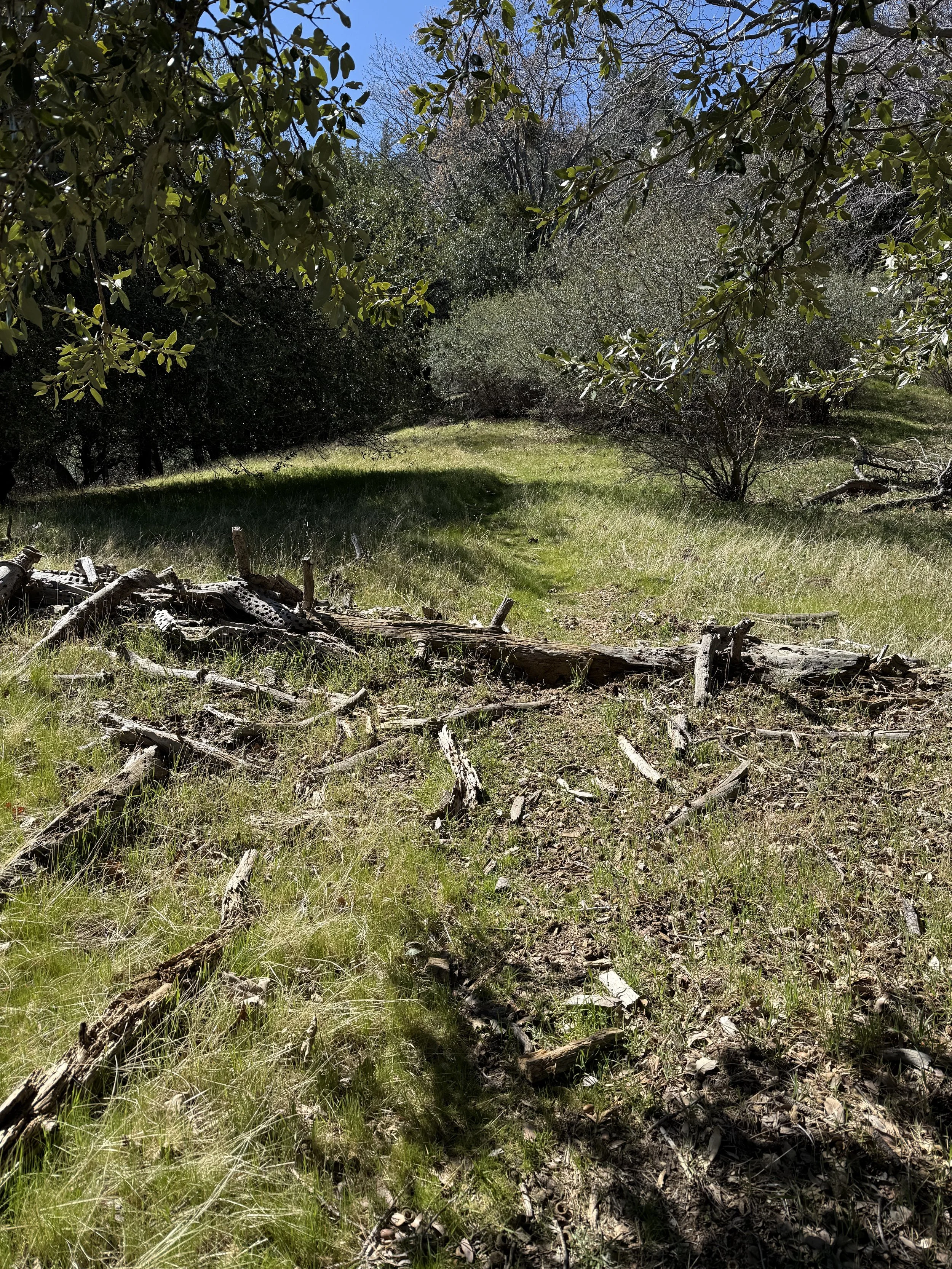
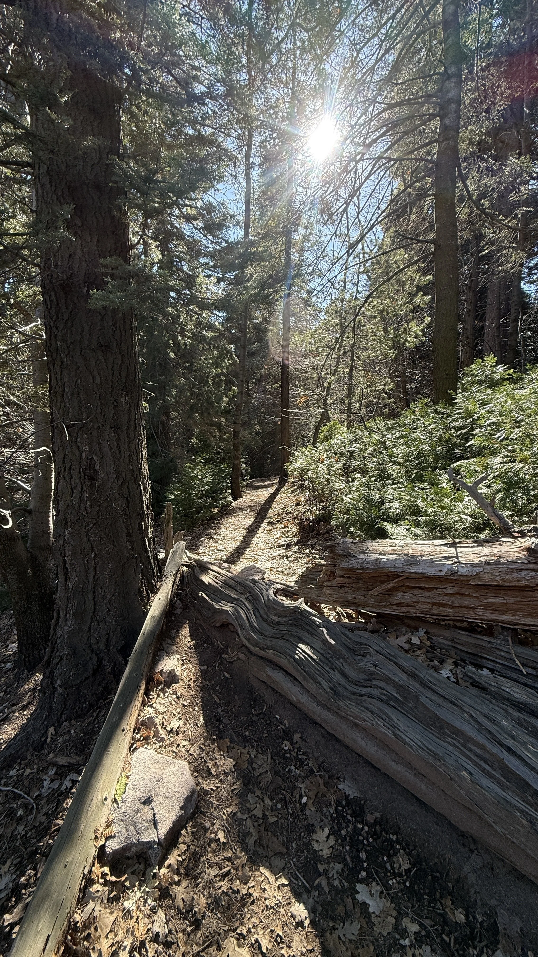
Faint, Questionable, and then Gone
Camp Seely & Cedarpines Park Loop
📍Crestline, CA
🥾 2.7 miles
📈 Elevation Gain: 839 ft
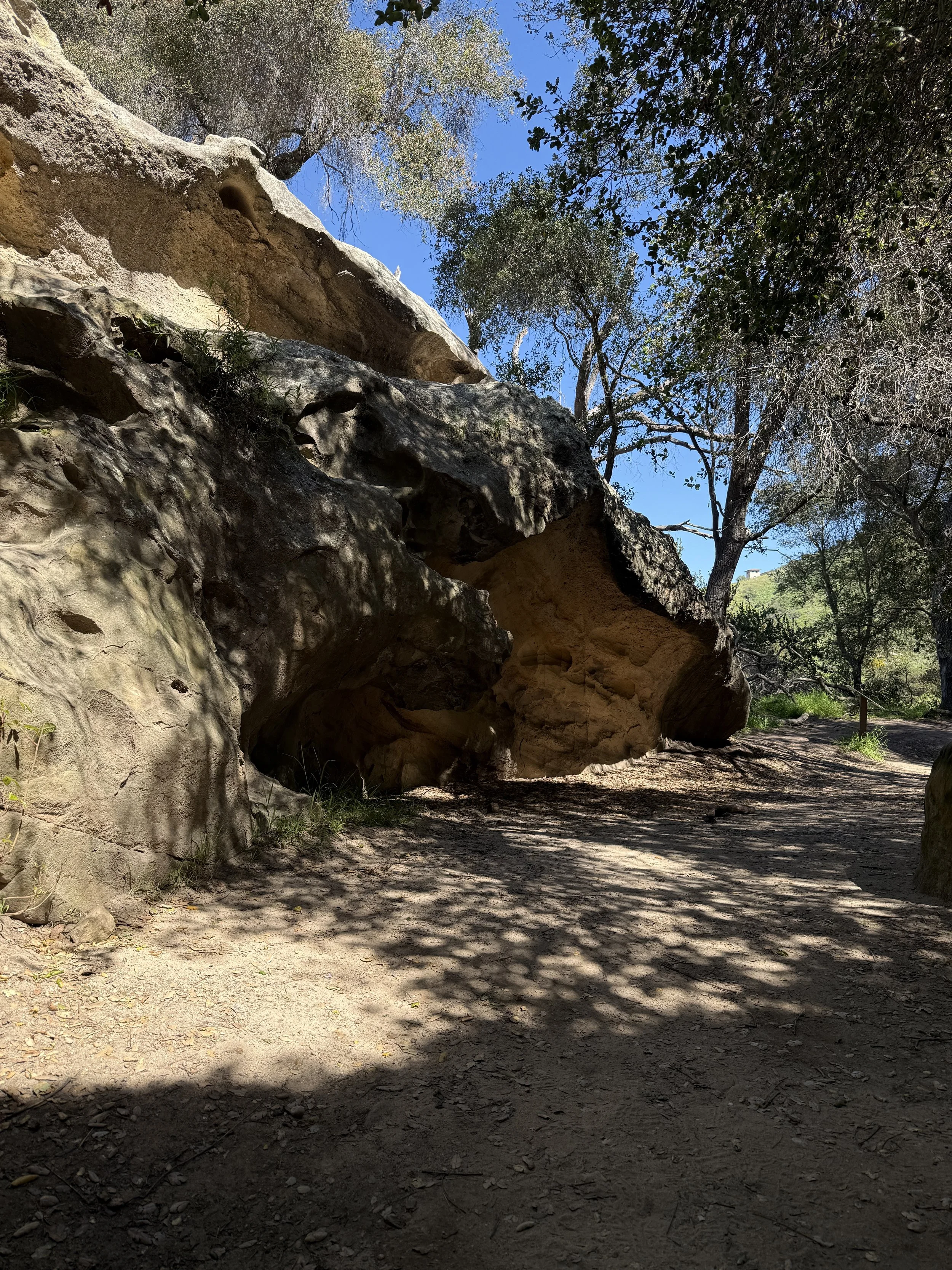
Paved “Trails” and Caves
Dripping Cave via Aliso Creek and Wood Canyon Trail
📍Aliso Viejo, CA
🥾 4.8 miles
📈 Elevation Gain: 203 ft
Favorite moment: Seeing the caves

Crossing Water in the Desert
📍 Palm Springs, CA
🥾 3.5 miles
📈 Elevation Gain: 505 ft
Favorite moment: Walking through the water under the palm trees
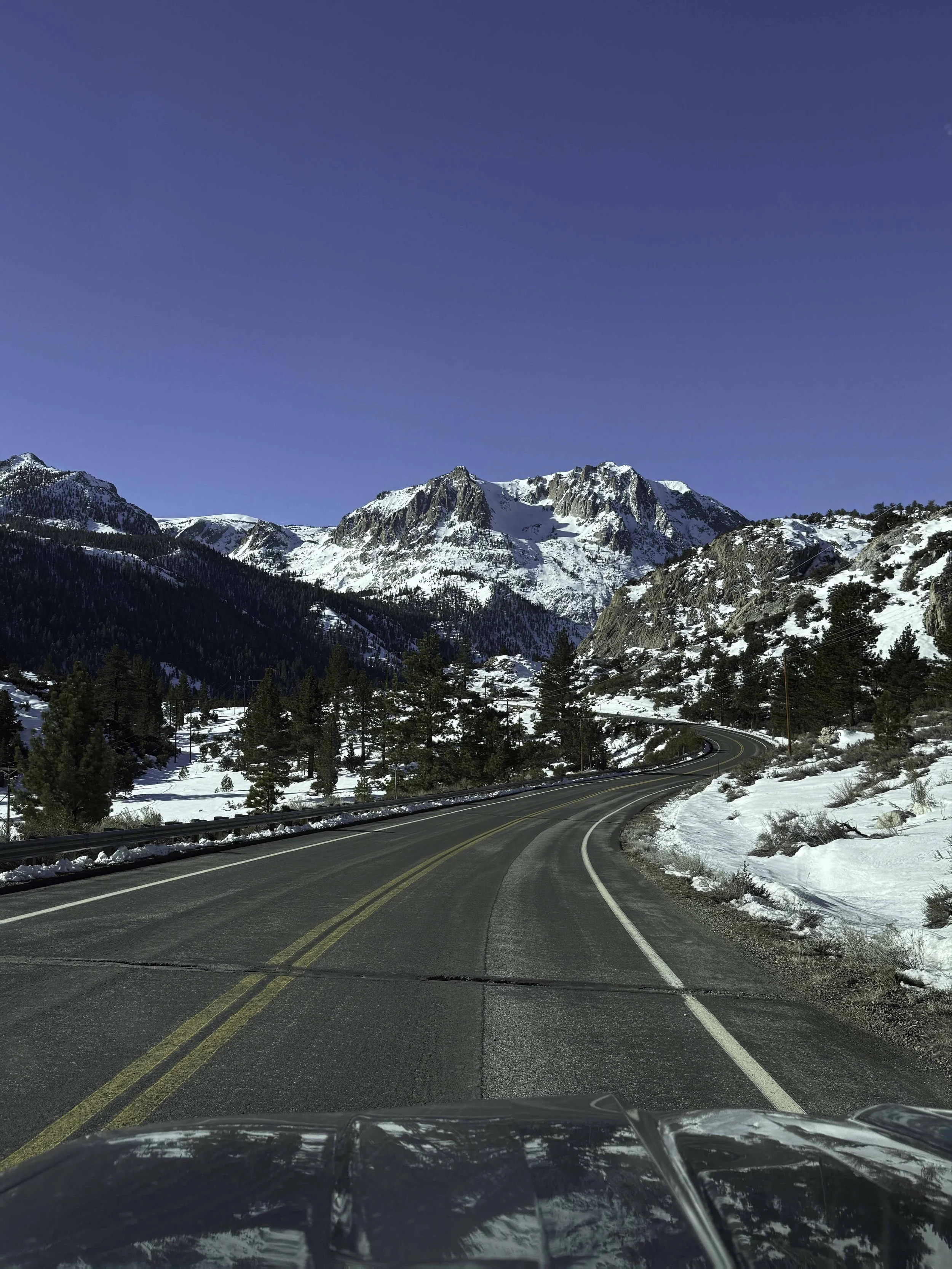
Roadtrip!
📍 Route 395, CA
🥾 885 miles
📈 Elevation Gain: 7,000 ft
Favorite moment: There wasn’t just one
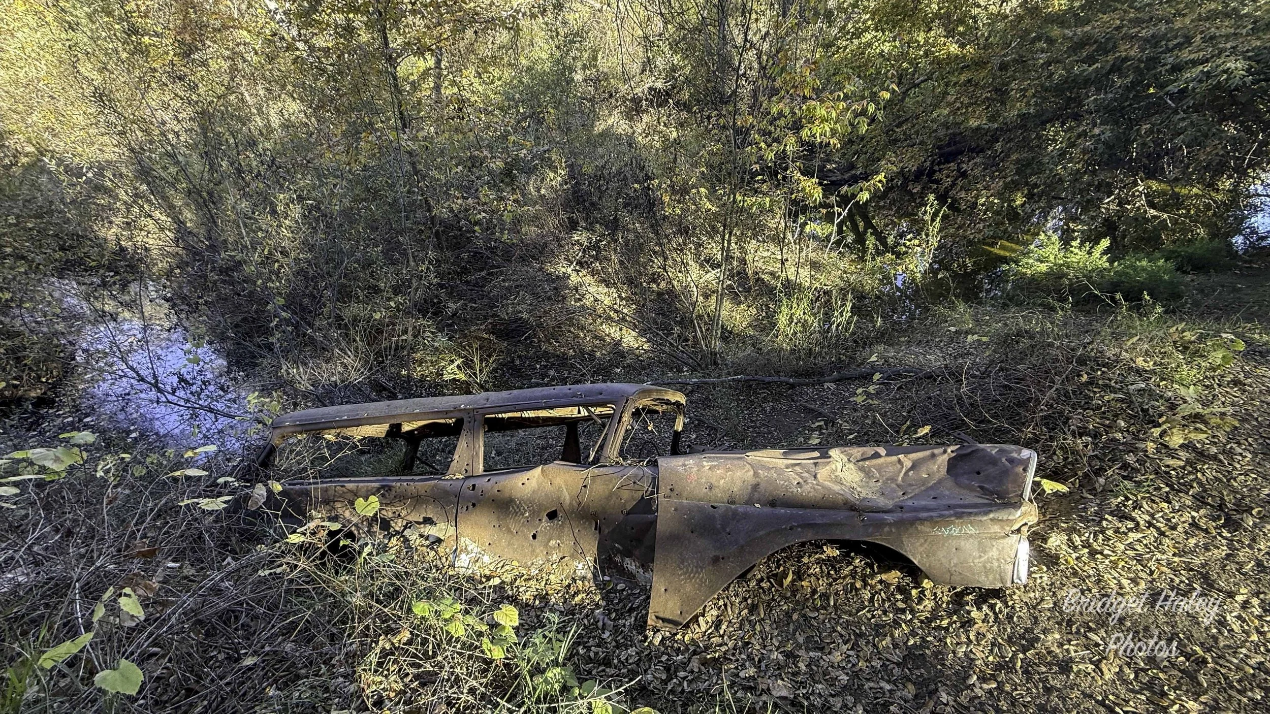
A Closed Campground
📍 Location: Blue Jay, CA
🥾 Distance: 3.8 miles
📈 Elevation Gain: 482 ft
Favorite moment: Hearing the chortle of a bald eagle overhead.
Peaceful Moments Beside the Water
📍 Location: Fallbrook, CA
🥾 Distance: 5.5 miles
📈 Elevation Gain: 509 ft
Favorite moment: The babbling river alongside of the trail

Thankful for the Trail: A Thanksgiving Morning Hike in Boynton Canyon
📍 Location: Holcomb Valley OHV
🥾 Distance: 26.87 miles
📈 Elevation Gain: 3,510 ft
Favorite moment: The changing topography
An Off-Road Excursion
📍 Location: Holcomb Valley OHV
🥾 Distance: 26.87 miles
📈 Elevation Gain: 3,510 ft
Favorite moment: The changing topography
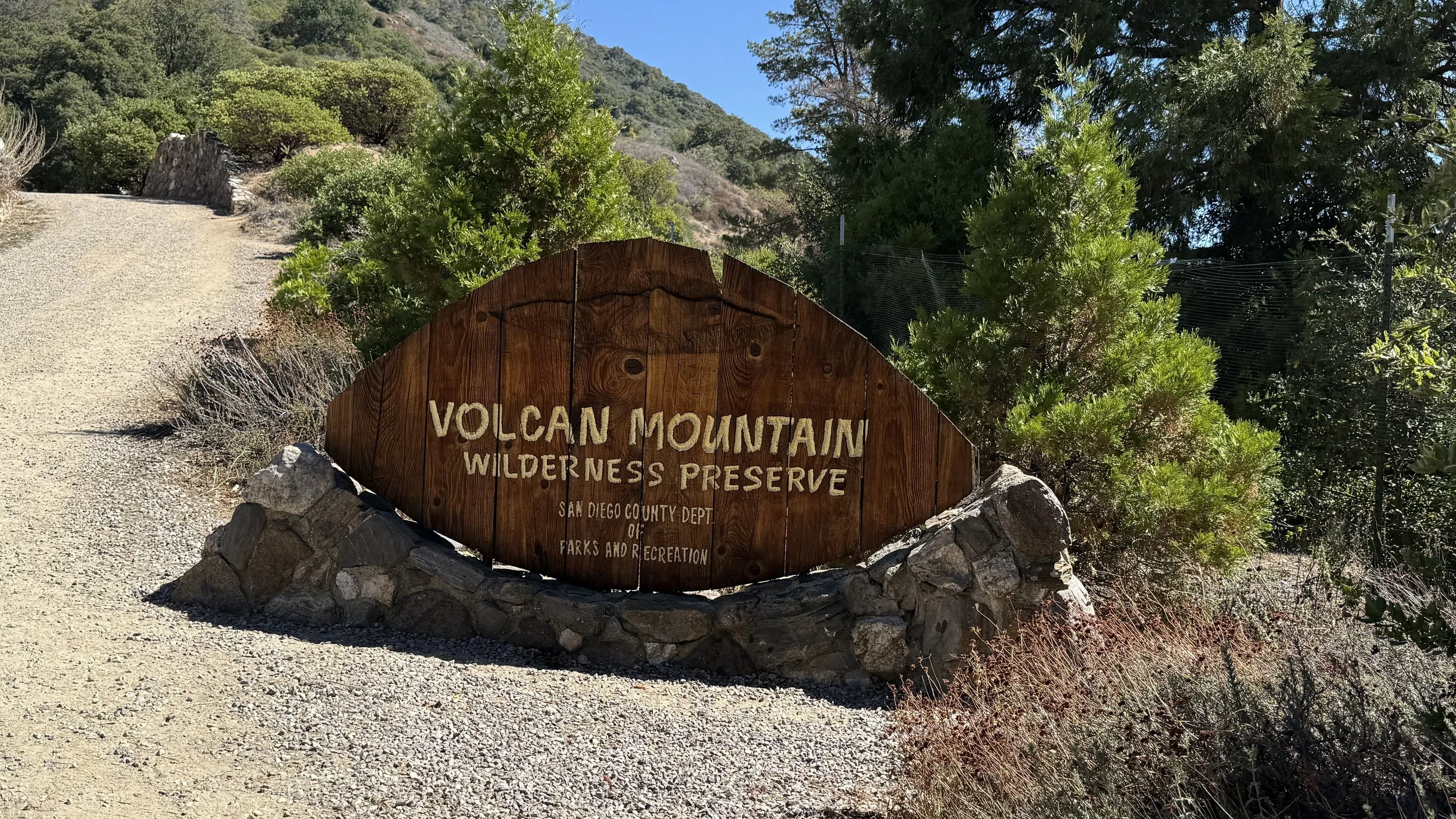
Volcan Mountain
📍 Location: Julian, CA
🥾 Distance: 5.2 miles
📈 Elevation Gain: 1,227 ft
📷 Gear Used: Sony a7iv
Favorite moment: Changing Topography
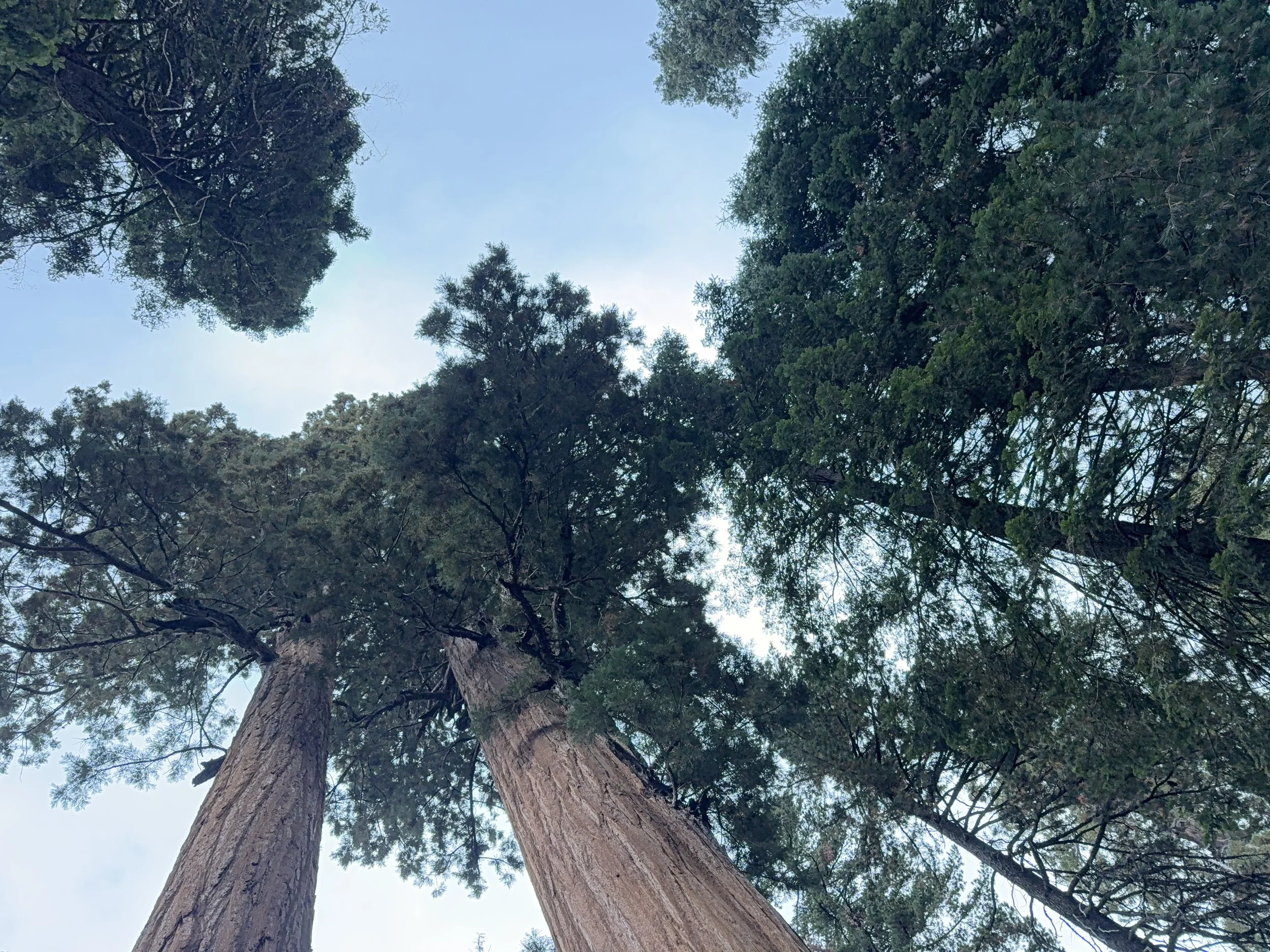
Congress Trail
📍 Location: Sequoia National Park, CA
🥾 Distance: 3.05 miles
📈 Elevation Gain: 538 ft
📷 Gear Used: Sony a7iv
Favorite moment: Changing Topography
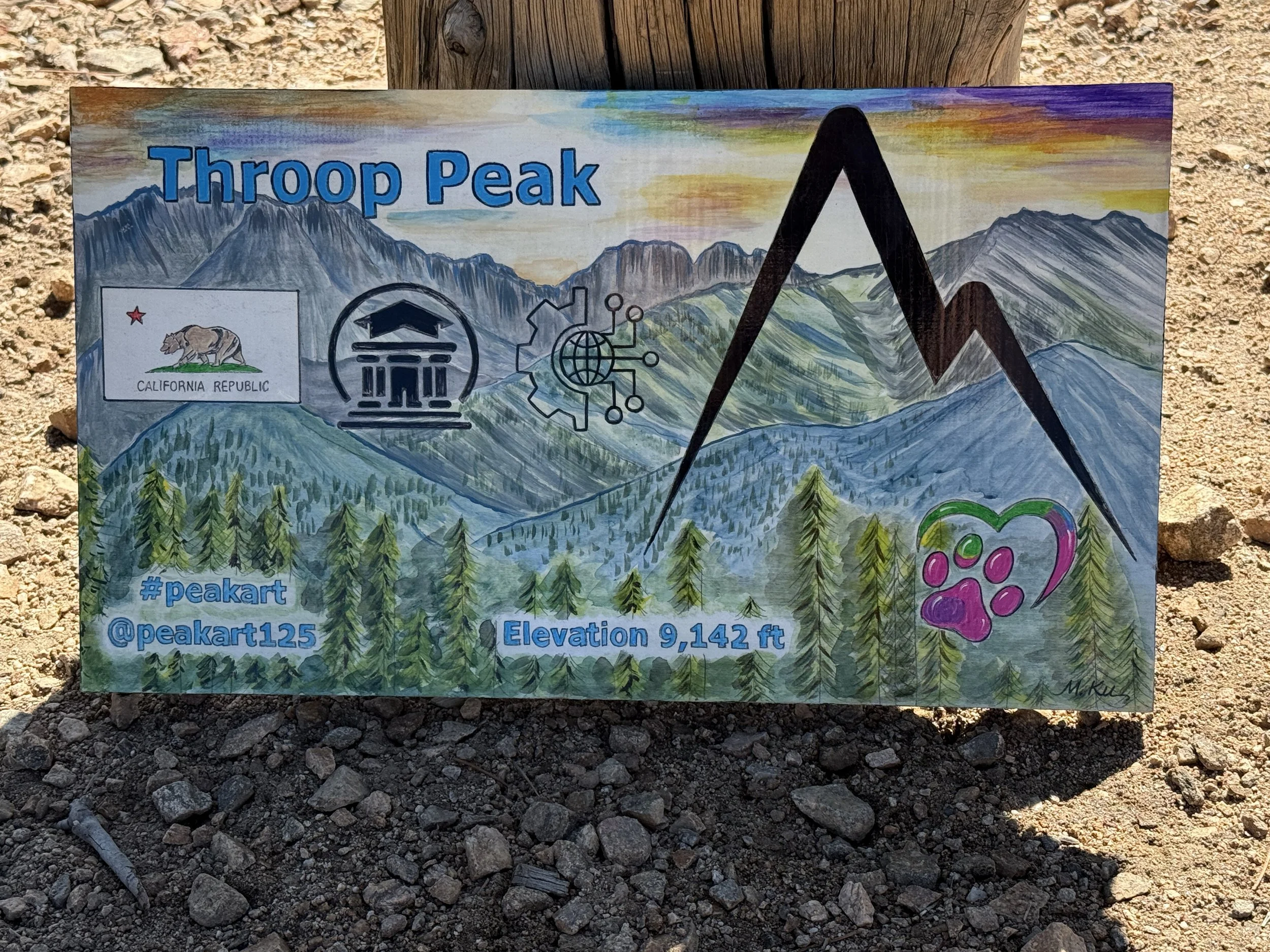
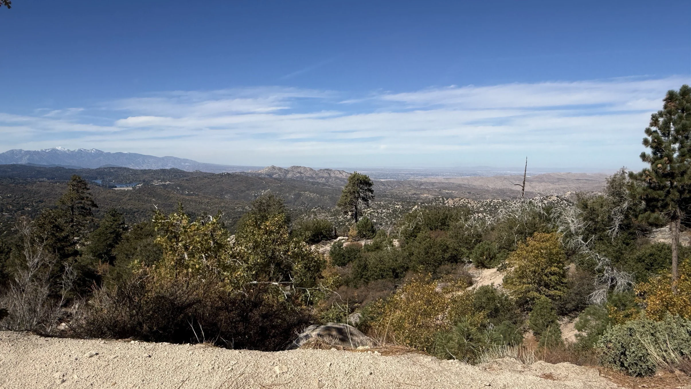
Throop Peak
📍 Location: Pearblossom, CA
🥾 Distance: 4.7 miles
📈 Elevation Gain: 1,227 ft
📷 Gear Used: Sony a7iv
Favorite moment: The mountain views and drive to the trailhead

Regatta in Dana Point
Recent Adventure Far From The Trail
📍 Location: Dana Point, CA
📈 Elevation Gain: 0 ft
🥾 Distance: 7.4 miles
📷 Gear Used: Sony a7iv
Favorite moment: The whole day
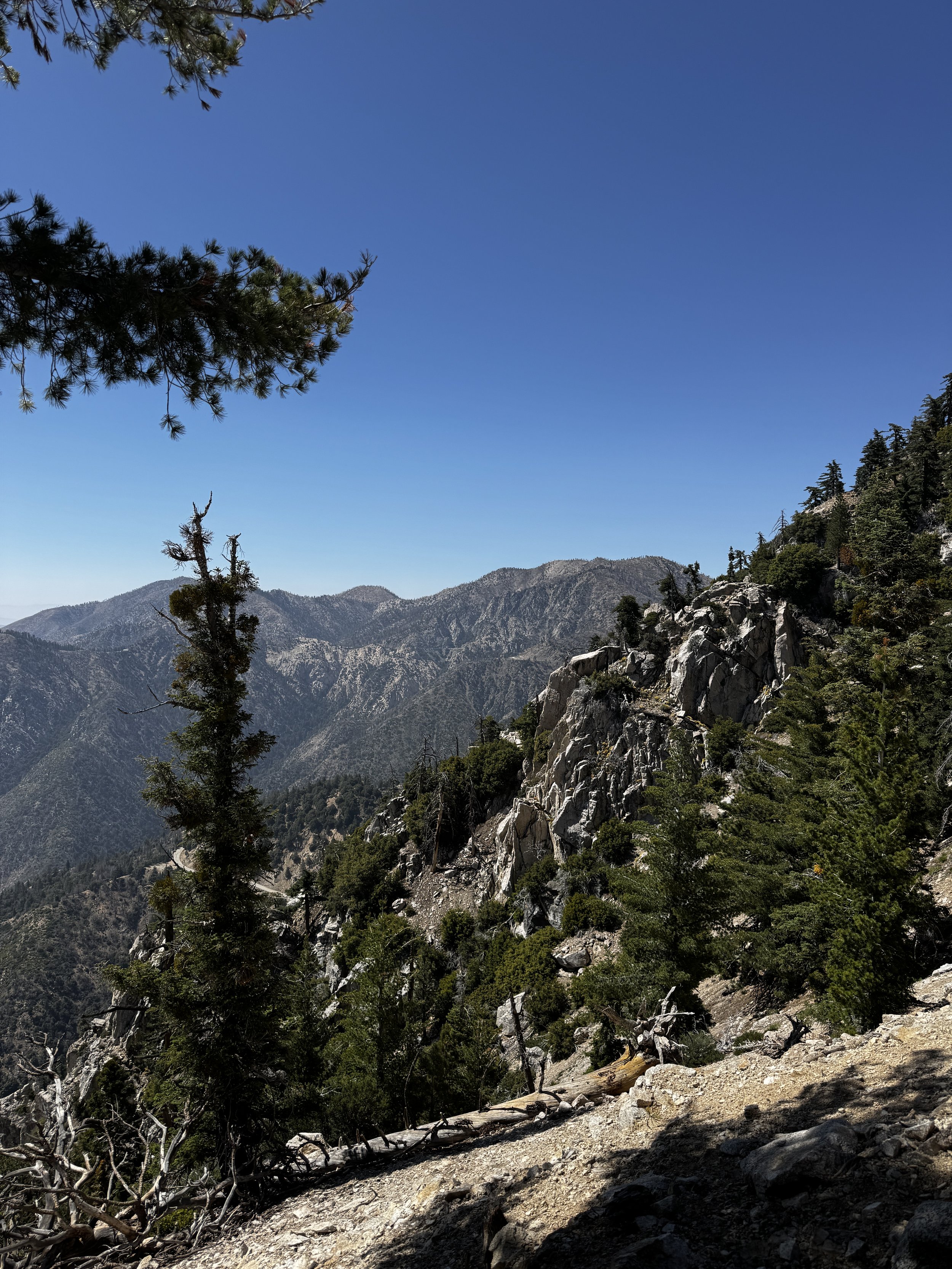
Crystal Lake, Mount Islip, Windy Gap Loop
Crystal Lake, Mount Islip, Windy Gap Loop
📍 Location: Azusa, CA
🥾 Distance: 10.2 miles
📈 Elevation Gain: 2,635 ft
📷 Gear Used: Sony a7iv
Favorite moment: Looking out over the distant peaks
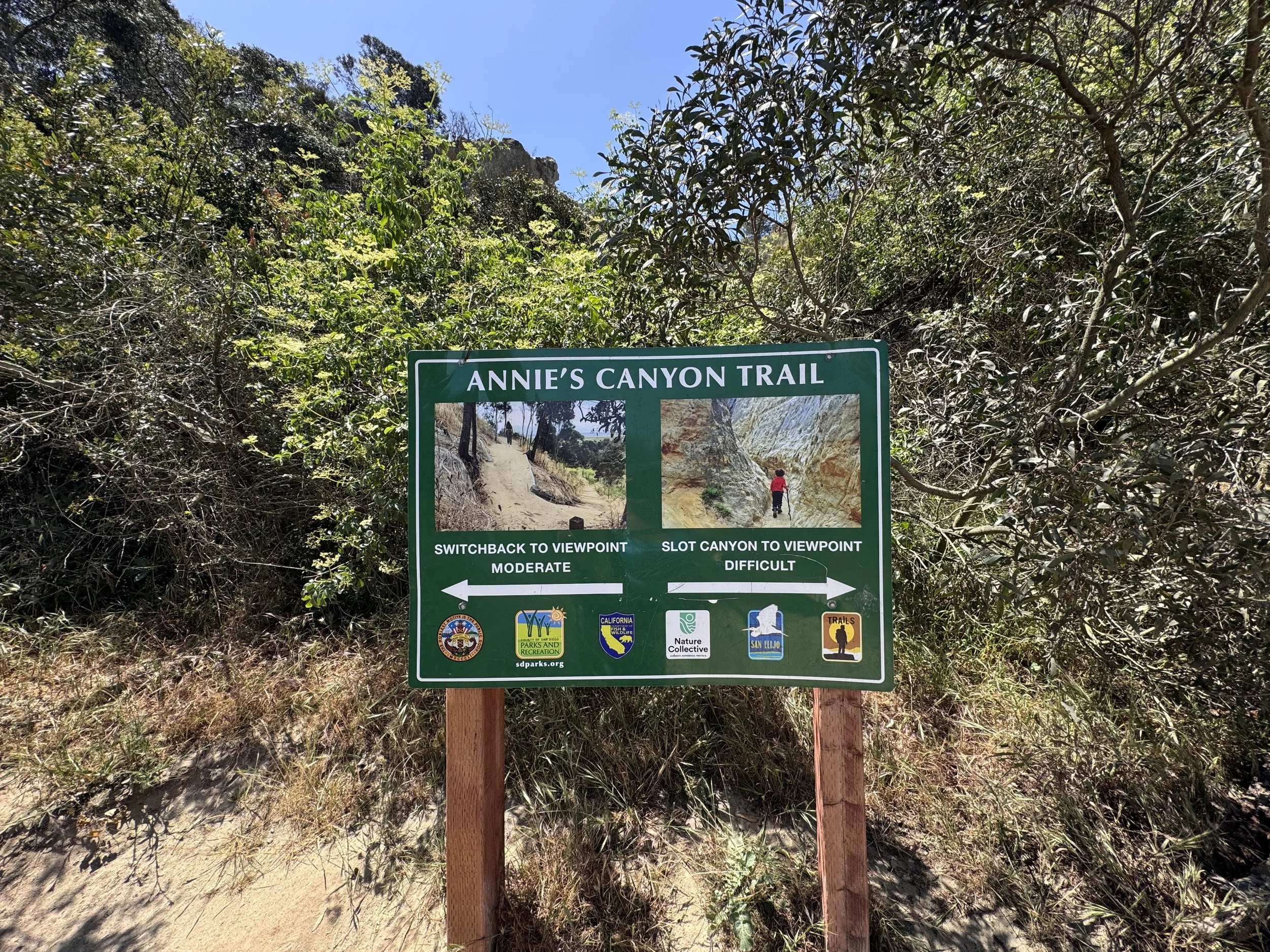
A Slot Canyon Surprise
Annie’s Canyon Trail
📍 Location: Solana Beach, CA
🥾 Distance: 3.36 miles
📈 Elevation Gain: 692 ft
📷 Gear Used: Sony a7iv
Favorite moment: Climbing through the slot canyon
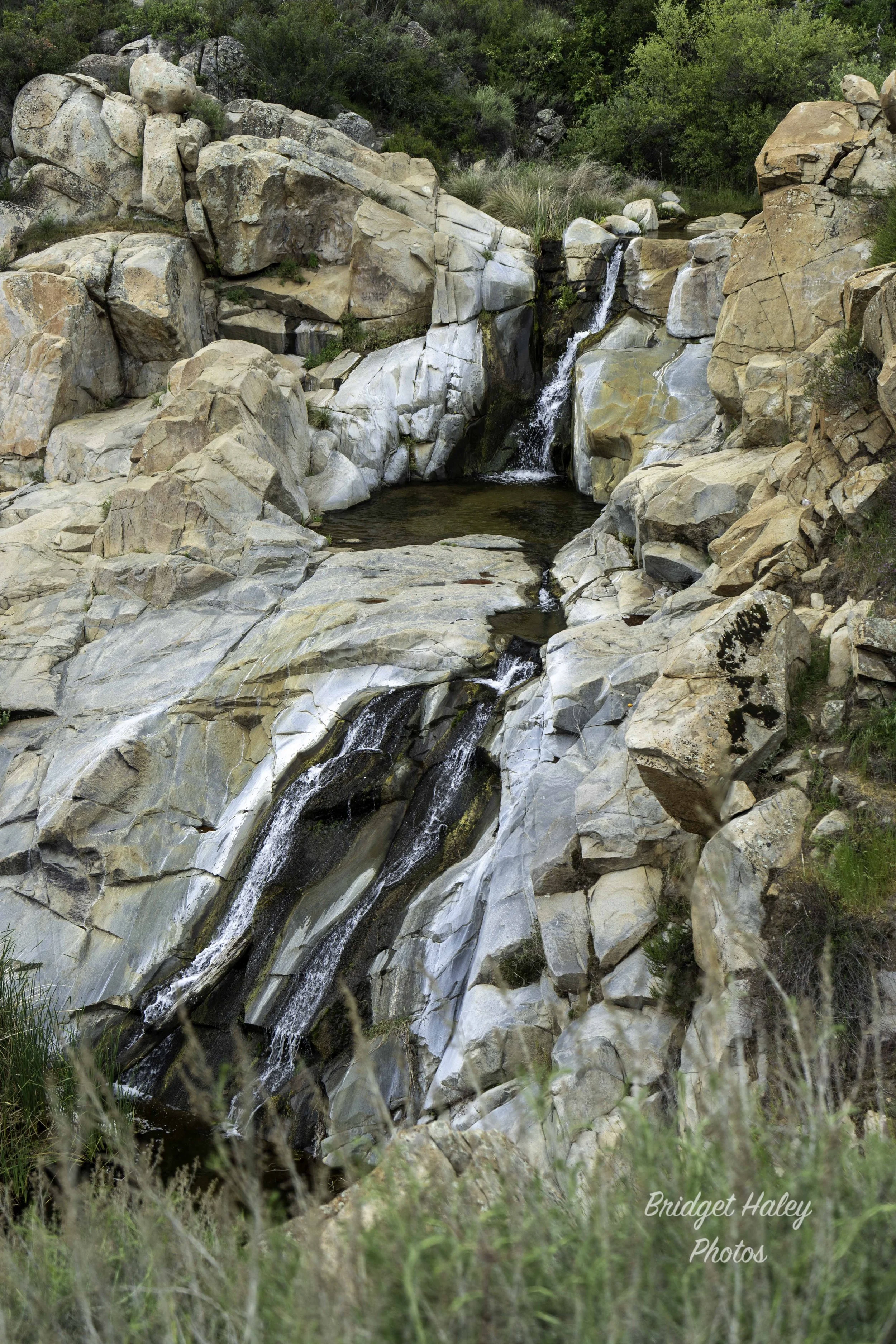
Hidden Beauty in Lake Elsinore
Tenaja Falls Trail
📍 Location: Lake Elsinore, CA
🥾 Distance: 1.93 miles
📈 Elevation Gain: 325 ft
📷 Gear Used: Sony a7iv
Favorite moment: Soaking my feet in the crystal clear water at the top of the falls.